
Montgomery County Neighbors by Block
Public records around a Montgomery County block are best read one parcel at a time. The GIS viewer supplies the geometry. The Assessor card supplies owner-of-record and property context. A deed or plat can explain a boundary or transfer. Those sources identify land relationships, not a household roster. Historic directories and community records can add dated context, but they must stay dated. The table separates the question each source can answer from the access route that supplies it.
| Source | What It Shows About a Block | Access |
|---|---|---|
| Montgomery County GIS viewer | Parcel boundaries, IDs, roads, adjacent geometry, and map layers | Online map; inspect each parcel separately |
| Assessor property card | Owner of record, mailing and situs fields, lot, and sales context | Online or public terminal; parcel-specific |
| Recorded deed or plat | Conveyance, legal description, subdivision, and boundary chain | Subscription, counter, mail, or historical Archives route |
| Election maps | Precinct, ward, county-district, and polling geography | Election and RPC maps, not a household roster |
| Individual voter lookup | A selected person's registration confirmation | State form with protected fields omitted |
| Association or historic material | Notices, rules, events, or a dated community reference | Member-controlled sites, library, or Archives |
An adjacent owner may not be a current occupant. The parcel might be vacant, held by an entity, served by a different mailing address, or contain several units. That distinction is the essential limit when researching a Montgomery County block.
Montgomery County Neighbor Map Layers
Roads and rights-of-way explain why parcels are near each other without sharing a boundary. Subdivision data can explain a lot pattern. Zoning, flood, elevation, historic, ward, and county-district layers answer planning or geography questions. These layers are overlays with separate meanings. A road layer is not an owner list, and a precinct layer is not a list of voters on a street.
The Regional Planning Commission map collection provides the local ZIP, ward, district, zoning, subdivision, and flood or elevation context.
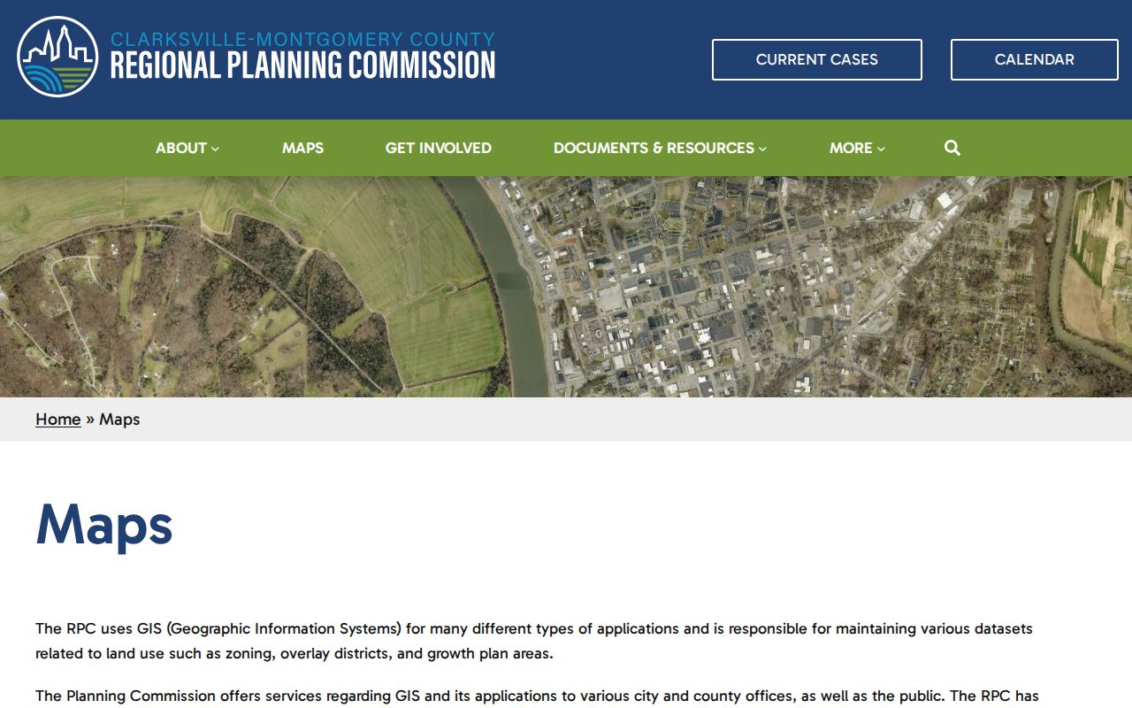
Use the map to compare geographic boundaries around the block. When the question is a parcel boundary, confirm it with the county GIS and recorded property material rather than relying on a broad delivery or district layer.
Montgomery County Neighbor Ownership
The Assessor's property card is the next stop after the map. It can return a parcel ID, owner name, owner mailing address, situs address, subdivision and lot, acreage, improvements, assessment values, and transfer or sales history. The county reports about 91,900 CAMA cards. That depth makes the card useful for a parcel question, but it remains an assessment record rather than a certified deed or a list of everyone who lives there.
The Montgomery County Assessor property search connects the public card to its parcel context.
A mailing address may belong to an owner who does not live at the situs. A transfer may name an estate, trust, or entity. State the result as owner-of-record or assessment evidence, and do not convert it into an occupancy claim.
Note: A parcel ID is a better link between the map and property card than a street label, especially near road changes or multiple structures.
Montgomery County Voter Lookup Limits
Tennessee's voter form is an individual-registration check. It requires county, first name, last name, birth month, and birth year. It does not create a public block roster, reveal every person at a nearby address, or support an inference about household composition. A no-match can have several explanations, including name spelling, county, timing, or status, so it is not proof that a person never lived in Montgomery County.
A voter-list request is a different and regulated process under T.C.A. § 2-2-138. It requires political-purpose certification, while the county election pages provide precinct, district, and polling maps for geographic questions. Use an election map to understand a block's civic geography and the individual lookup only for the narrow record it is designed to confirm.
Montgomery County Neighbor Associations
Neighborhood groups are useful community context, but none of the sources below establishes a public member roster. Greenwood's portal is controlled by the association and supports member account and contact updates, dues, notices, maintenance or rule concerns, events, and architectural applications. Hillwood describes optional membership and no enforcement powers. The Clarksville Community Development Corporation publishes public meeting information, not a block directory.
Greenwood Community Association
Member-controlled resident portal for account, notices, dues, and association functions.
Hillwood Neighborhood Association
Optional membership; events and security resources are described for registered members.
Clarksville Community Development Corporation
Established in 1978; public meetings are held at Haskell House on the third Tuesday at 6:30 p.m.
The Greenwood Community Association page is shown below as an example of a private, member-controlled community portal.
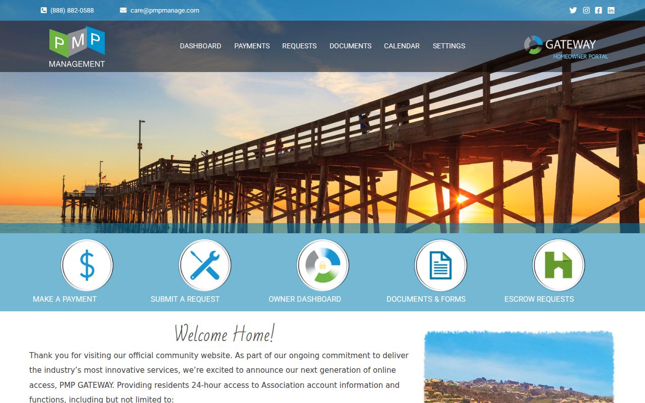
Association notices may help a resident locate an official point of contact for community matters. They are not permission to infer membership or publish private account details.
Montgomery County Community History
Historic community sources can explain a block at a particular time without describing present-day occupants. The Archives finding aid includes a Sango Community Club scrapbook dated 1951-52. It is historical evidence of community activity, not a current roster. The Montgomery County Historical Society, Archives, newspapers, maps, and dated directories can similarly supply a name, address, or event only for the year and source that produced it.
Clarksville Civitan history, public meeting notices, and older community collections are useful for finding a dated civic lead. Treat a published event, meeting location, or historic scrapbook entry as a starting point for archival research, not proof of current residence or membership.
Montgomery County Neighbor Source Comparison
Official property and map tools identify their custodian, scope, and update context. Commercial neighbor-search categories can combine records from different dates and sources, often without showing how a name, address, or relationship was matched. For a block question, the official record is slower because each parcel must be read separately, but it gives a clearer answer about what the result actually establishes.
| Source category | Useful for | Key limit |
|---|---|---|
| Official GIS and Assessor records | Parcel geometry, owner-of-record, situs, and assessment context | Does not prove current occupancy or household membership. |
| Recorded deeds and plats | Transfer, legal description, and boundary trail | May require counter, mail, or subscription access; not a full title opinion. |
| Official election maps and individual lookup | Civic geography or a selected registration check | No unrestricted block roster and protected fields remain closed. |
| Commercial neighbor-search category | Possible leads to verify independently | Can combine stale or misidentified data and lacks custodian-level certainty. |
Map Montgomery County Neighbor Parcels
The county's adjacent-parcel method begins with a target parcel, not a guessed person. Find the address on the map, identify its outline, and note which parcels share a boundary or lie across a public road. Record the parcel IDs and public address labels before opening an Assessor card for each tract. This keeps the work tied to the block geometry instead of to assumptions about people with similar names.
The Montgomery County GIS viewer is the official map route for this first step.
The viewer's parcel, road, zoning, aerial, and other layers provide geographic context. They do not independently prove that a named person occupies the address.
- Search the target street address or parcel and save the returned parcel ID with the lookup date.
- Click or identify tracts that touch the target boundary or sit across the public street, then record each parcel ID separately.
- Open each parcel's property card to distinguish its situs address, owner name, and owner mailing address.
- Use a recorded deed or plat only when the property question requires the legal boundary or transfer trail.
- For a whole named street rather than the immediate block, use the Montgomery County street directory record chain.
Montgomery County Neighbor Privacy
Open records are not a license to aggregate a block into a personal profile. Tennessee protects sensitive voter identifiers, sealed or confidential court material, restricted vital records, and other exempt fields. The Safe at Home Address Confidentiality Program gives eligible participants a substitute mailing address and confidential absentee voting arrangement. It does not erase records or replace the actual address for property appraisal, assessment, tax collection, or real-property recording.
A visitor, family member, or other occupant is not established by a parcel card. Delivery and utility information should not be treated as public block evidence. When a record appears wrong or sensitive, contact its actual custodian about correction, redaction, or confidentiality rather than attempting to work around a protection.
The Tennessee Public Records Act gives Tennessee citizens access to open government records, subject to exemptions and custodian rules. It does not require an office to create a new list of people for a block. A narrow request for an existing parcel, map, or dated record is more likely to reach the right office than a request framed around every person near an address. The Tennessee Information Protection Act also is not an automatic deletion tool for county records. Ask the custodian which correction or confidentiality route fits the specific record.
Lawful use. Use Montgomery County neighbor records for lawful personal, civic, family, property, or safety questions. Do not watch, stalk, threaten, harass, or intimidate anyone with information found through these sources.