
Montgomery County Previous Residents Sources
Past residents are found by matching a source to the era. The current property card ties an address to a parcel ID, an owner-of-record, a mailing address, a situs address, and transfer or sales history. The Register of Deeds then supplies a name-centered document trail. Older books, probate, directories, newspapers, and historical maps fill the gaps that a current index cannot. A parcel record is not a household list, and a deed party is not automatically the person who occupied the property. Keep those distinctions visible from the first search.
| Source | Years it covers | Where held | What it shows |
|---|---|---|---|
| Assessor property card and parcel history | Current view | Spatialest portal, public terminal, or Assessor | Parcel ID, owner, mailing and situs addresses, improvements, and transfers |
| Register online index | Current online view; historical cutoff not published | US Title Search | Grantor/grantee index and subscription image route |
| Montgomery Deed Books | 1788-1997 | Montgomery County Archives | Recorded conveyances and the deeper deed-book trail |
| Probate records | 1796-1990 | Archives, Chancery, and FamilySearch routes | Heirs, executors, property mentions, and relationships |
| Directories and newspapers | 1895 named Clarksville collection; other local runs need confirmation | CMCPL, FamilySearch, and library databases | Dated address and household or community context |
| Historic maps | 1877 and 1903 collection | Library of Congress | Landowners, roads, tracts, buildings, and block context |
For a recent transfer, start at the property card. For an old address, start with the parcel if it can be identified, then use a deed reference, directory year, map, or probate lead to move into the earlier period. Record the date and purpose of every source rather than combining them into a single undated answer.
Start with Montgomery County Parcels
Use the Montgomery County Assessor property card to turn a current street address into the stable parcel ID. The card can show the owner name, owner mailing address, situs address, subdivision or lot, acreage, improvements, assessed values, and transfer or sales history. The parcel ID is the useful join point because street names, house numbers, and names can change. The human-readable address remains important, but it should be kept as a dated label beside the parcel.
Do not assume the owner mailing address, tax owner, or legal entity is the person who lived there. A parcel can be held by an estate, trust, or organization, and its mailing address can be elsewhere. The property card provides a documented connection to land and transfers. It is not a certified deed, complete title opinion, or proof of current occupancy.
Note: Copy the parcel ID, legal description, transfer reference, and the date of the property-card search before moving backward.
Montgomery County Property Records and Deed Chains
The Register of Deeds indexes recorded instruments by grantor and grantee name. For a historical property trail, begin with the present parcel card and use the transfer information to locate the current owner's acquisition. The buyer is normally the grantee and the seller is the grantor. To go backward, search the prior owner as a grantee to find that owner's earlier purchase, then repeat. Preserve instrument type, recording date, book and page or document number, names, legal description, and whether an image was viewed.
- Find the current property card by address and save the parcel ID, legal description, transfer history, and owner-of-record.
- Use the current buyer's name in the Register index to locate the purchase instrument and identify the preceding grantor.
- Search that preceding owner as a grantee to find the earlier acquisition, checking initials, married names, estates, trusts, and spelling variants.
- Repeat the name-to-document trail backward, retaining the book/page or document reference for each link.
- When the online result stops, use the Register counter or the Archives deed books instead of guessing an online cutoff.
- Grantor
- The party transferring an interest in a recorded instrument.
- Grantee
- The party receiving that interest in the recorded instrument.
- Chain of title
- The sequence of recorded transfers associated with a parcel or legal description, not a guarantee that every possible interest has been found.
- Legal description
- The lot, subdivision, metes-and-bounds, or other recorded land description that can remain useful when a street address changes.
The Register says it cannot perform a title search or promise that a search identifies every lien or encumbrance. Use this public record sequence for documented history, and seek appropriate professional advice for a legal title determination.
Montgomery Records: Online and Counter
The county directs online deed research to US Title Search, a paid or subscription route. The research did not expose an exact backward cutoff for that live index, so no exact online start year belongs in an address history. The Register's online path can be useful for a current document reference, but it is not the whole county archive. The physical and digital timelines are different by design.
Use the Register's document-request guidance when a counter, mail, or copy route is more useful. Public computers are available in person at 350 Pageant Lane, Suite 101-A. A mailed request should provide a volume and page or enough information to identify the instrument, include a self-addressed stamped envelope, and go to PO Box 1124, Clarksville, TN 37041-1124. The Archives provides the older deed-book route, with reading-room registration and photo identification.
The Register of Deeds public-terminal guidance is the source represented in this Montgomery County address-history image.
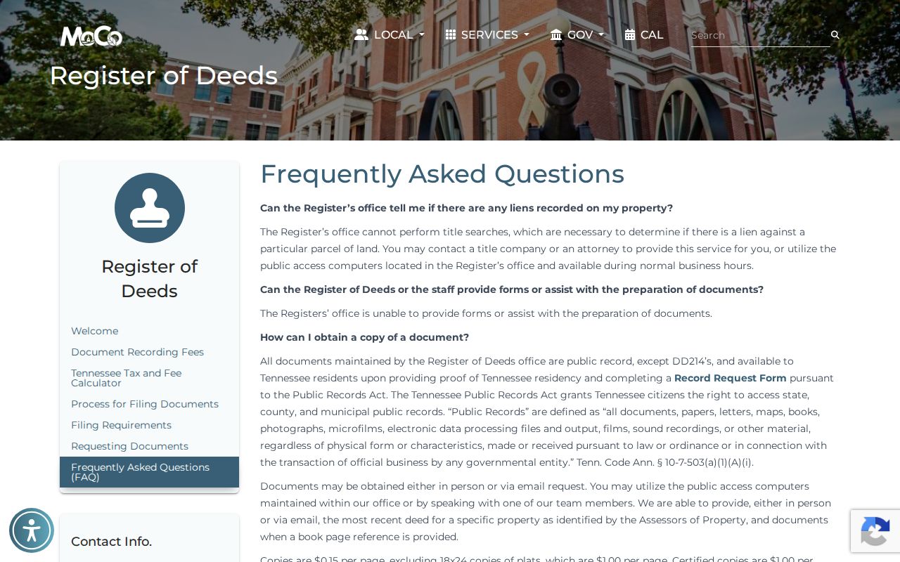
The counter, public computer, mail request, and Archives reading room are separate fallback channels, each serving a different part of the trail.
The US Title Search index is the source represented in this Montgomery County address-history image.
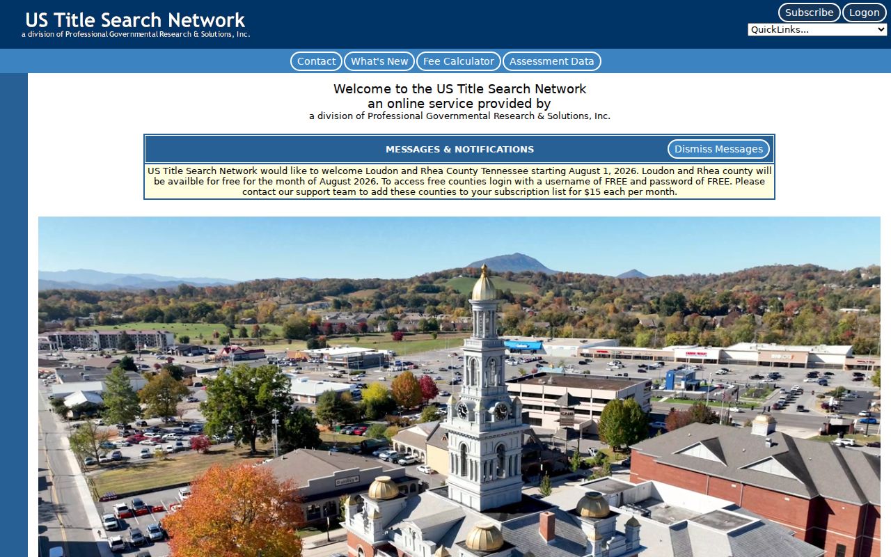
A subscription screen can identify an access route, but an unavailable image should send the search to the county office or older Archives books, not end it.
Montgomery County Residents on the 1877 Map
The 1877 Library of Congress Montgomery County map names landowners, roads, railroads, property tracts, and town insets for Clarksville, New Providence, Palmyra, Port Royal, and other places. It can bridge a historic owner name from a deed or probate file to a mapped tract. A road or tract on this map is a period clue, not a current parcel boundary, so compare it with a deed book reference and preserve the map's year.
Historic spellings and boundaries may not match a current address. Use the map to formulate the next search, such as a road name, landowner, nearby feature, or tract. Do not use it to infer who lives at the location now.
Sanborn Sheets for Montgomery Resident Addresses
The 1903 Clarksville Sanborn collection has 19 sheets that add building and block context to a historical address. A sheet may show footprints, construction or material clues, lot arrangement, commercial or residential geometry, alleys, and the surrounding street pattern. That can help explain why a modern parcel does not look like the lot described in an older directory or deed.
Sanborn maps are historical, not a list of occupants. Use a sheet to check whether a building or block existed and then corroborate any person or household name with a dated directory, newspaper, deed, probate record, or census schedule.
Note: A map can confirm period context, while a directory or probate file supplies the separate evidence about people.
Clarksville Address Records and Old Numbers
Historic Clarksville street numbers may need a normalization pass. The city's numbering ordinance describes a grid with Franklin Street as a dividing line and different count patterns from Riverside Drive, First Street, and Franklin. That local rule helps explain why an old directory number may not line up cleanly with a current number, even when the street name looks familiar. It is a search problem, not proof that a record belongs to a different household.
Search the old street name, a nearby cross street, the lot or subdivision, and the legal description when a modern address fails. Keep each address form with its source date. A parcel ID and deed description are often more durable than an assumed one-to-one conversion of street numbers.
Past Montgomery County Residents in Households
Owners are only part of the address story. CMCPL's Brown Harvey Sr. Genealogy Room holds directories, historical newspapers, microfilm, death certificates, databases, and family-history resources that can help identify a household at a particular time. FamilySearch's directory collection and the Ancestry locality page are additional routes, but the exact Clarksville year run and any local reverse-directory titles should be confirmed with library staff. The collections themselves are described on the Montgomery County city directories page.
Pair a directory entry with the relevant census schedule, then test the person and address against a newspaper, deed, tax or assessment record, map, probate file, or obituary. A directory may use a business address or omit a household member. A census date and a directory publication date also answer different questions, so write both dates down before deciding that a family moved.
The CMCPL Genealogy Room page is the source represented in this Montgomery County address-history image.
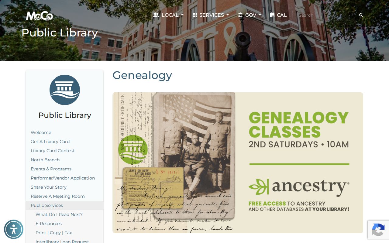
Library staff and historical collections can turn a single address into a carefully dated household trail.
Montgomery County Records When Circuit Files Burned
Two courthouse fires, in 1878 and 1900, destroyed Montgomery Circuit Court records. That preservation history explains a missing Circuit file, but it does not erase or limit the separate deed, probate, newspaper, Chancery, county-minutes, and Archives routes. Do not extend the fire explanation to a deed book or a directory without checking the custody and date of that record family.
When an older court file is absent, search surviving Chancery minutes, probate, deed books, county minutes, newspapers, private abstracts, and relevant Archives collections. Label any reconstruction as a reconstruction. A missing original record is not proof that the person, address, or event never existed.