
Montgomery County ZIP Code Coverage
Montgomery County has principal delivery areas for Clarksville and its rural communities, plus service-area labels that reach beyond the county. The table preserves the postal association supplied by county research rather than inventing a municipal boundary. A postal association is useful for narrowing an address, but USPS should supply the final deliverable label for a specific street. The cross-boundary rows are included because county operational data uses them, not because each is a Montgomery County municipality.
| ZIP | Areas Covered | Post Office | Notes |
|---|---|---|---|
| 37040 | Clarksville service area | Clarksville postal association | Primary city/service ZIP; city and county overlap still needs an address check. |
| 37041 | Clarksville PO Boxes | Clarksville PO Box association | Primarily postal-box use, not a simple residential geography. |
| 37042 | Clarksville service area | Clarksville postal association | City and county boundaries are separate from the delivery label. |
| 37043 | Clarksville and east Montgomery area | Clarksville postal association | Local city/east-county association. |
| 37044 | Clarksville and Austin Peay State University association | Clarksville institutional association | Unique or institutional postal association. |
| 37052 | Cunningham area | Cunningham postal association | Rural/community geography in Montgomery County. |
| 37142 | Palmyra area | Palmyra postal association | Montgomery County area. |
| 37171 | Southside area | Southside postal association | County-edge postal area. |
| 37191 | Woodlawn area | Woodlawn postal association | Montgomery County area. |
| 37010 | Adams service area | Adams postal association | Cross-boundary/service ZIP in county operations; verify the address county. |
| 37051 | Cumberland Furnace service area | Cumberland Furnace postal association | Cross-boundary/service ZIP in county operations; verify the address county. |
| 37079 | Indian Mound service area | Indian Mound postal association | Cross-boundary/service ZIP in county operations; verify the address county. |
| 42223 | Fort Campbell and Kentucky service area | Fort Campbell postal association | Cross-state/county service ZIP; never infer county from the label alone. |
Both 37041 and 37044 show why a delivery table needs notes beside the number. A PO Box designation does not map a neighborhood, and an institutional association does not describe every parcel or person using a Clarksville mailing address.
Montgomery County ZIP Delivery Fields
Use the official USPS ZIP Lookup when the question is delivery, not jurisdiction. Its address form allows a company field and apartment or suite detail, then asks for the street and state. City and ZIP can help refine the query. USPS also supports a city-and-state-to-ZIP route. A returned result does not prove that a named person or organization is at the address, so it should not be used to identify residents.
| USPS field | Requirement | What to enter |
|---|---|---|
| Company | Optional | Leave blank for an ordinary residential address search. |
| Street | Required | Use the house number, street name, directional, and suffix. |
| Apt/Suite/Other | Optional | Add only when it is part of the delivery address. |
| City | Refining field | Use the current mailing-city label when known. |
| State | Required | Select Tennessee for a Montgomery County address. |
| ZIP | Optional | Use a known ZIP to check the full delivery form. |
Keep a USPS result dated. No official local realignment history was located, and delivery routes can change. A historical directory's printed postal label should remain a dated source detail rather than being silently replaced by a current result.
Montgomery County ZIP Boundary Checks
ZIP boundaries, city limits, county lines, and parcel polygons answer different questions. Census ZCTAs are statistical approximations, while USPS ZIPs are delivery routes. Census material associates 37040, 37042, 37043, and 42223 fully or partly with Clarksville, but that association does not make each ZIP a city-limit boundary. For a county or incorporation answer, use the Tennessee administrative-boundary service or a county map alongside the address.
The Regional Planning Commission map collection brings together ZIP lookup, wards, county districts, zoning, subdivisions, growth-plan, historic, and flood or elevation context.
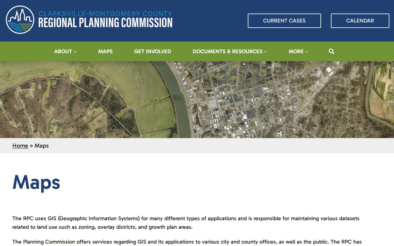
The map helps compare geographic layers, but USPS remains the authority for a deliverable mailing ZIP. A parcel can use a Clarksville mailing label while sitting outside the city limit, and a county service can encounter an address with a neighboring or cross-state label.
- ZIP and ZIP+4
- A ZIP identifies a delivery area. ZIP+4 adds a smaller delivery segment within that area.
- PO Box ZIP
- A postal designation used for boxes, which does not by itself describe a residential area.
- Unique ZIP
- A postal association serving an institution or other distinct destination rather than a broad neighborhood.
- Carrier route
- A delivery grouping used within postal operations; it is not a legal boundary or resident list.
Montgomery County ZIP Service Counts
The 2024 Montgomery County Animal Control annual report is a useful example of service geography, not a population count. It recorded 7,236 field-service calls. The largest listed totals were 3,375 in 37042, 2,051 in 37040, and 1,006 in 37043. The report also counted 457 calls under 42223 and smaller totals in rural and cross-boundary labels. Those figures show why county operations cannot assume a ZIP is the same as a municipal boundary.
| ZIP | 2024 service calls | Reading the number |
|---|---|---|
| 37042 | 3,375 | Service-call total, not a resident total. |
| 37040 | 2,051 | Service-call total, not a population estimate. |
| 37043 | 1,006 | County service geography only. |
| 42223 | 457 | Fort Campbell/Kentucky service context, not county proof. |
| 37191 | 140 | Woodlawn service label. |
The report also lists 61 calls in 37052, 51 in 37142, 29 in 37010, 19 in 37051, 17 in 37171, and 13 in 37079. Use a census source for population questions and USPS plus a map for an individual address.
Montgomery County ZIP Crossovers
Adams, Cumberland Furnace, Indian Mound, and Fort Campbell illustrate the county-edge problem. County operational reporting can use 37010, 37051, 37079, and 42223 without those labels proving where every address lies. Fort Campbell is especially clear because 42223 has a Fort Campbell and Kentucky association while also appearing in Montgomery County service data. Treat each of these as a search lead that needs an address-level confirmation.
For a legal or government-service boundary, compare the full address against the Tennessee county and city boundary layer. For a delivery question, use USPS. For a statistical question, use a Census ZCTA with its approximation clearly labeled. Those three sources can agree, but they answer different questions and should not be collapsed into one postal-geography field.
Find by Montgomery County ZIP Code
A ZIP narrows geography, but it is not an official household filter. The documented local route starts with an exact address, then proceeds to a parcel or map result. The Assessor's public property-card system documents owner name, mailing address, situs address, parcel ID, subdivision, lot, acreage, and transfer history as card fields. Its live form controls were not exposed in the research, so do not assume that the portal accepts a ZIP-only search.
- Run the full street address through USPS and retain the returned mailing city and ZIP exactly as given.
- Use the RPC map or the state boundary layer if city, district, or county status matters.
- Search the Assessor property card by its documented address, owner, or parcel context, then compare the situs and mailing fields.
- Open the GIS parcel layer to check the mapped tract, roads, subdivision, and neighboring geography.
- For a full named-street record chain after the location is narrowed, use the Montgomery County street directory.
The voter lookup is not a ZIP-wide resident tool. It checks an individual by county, name, birth month, and birth year. A regulated voter-list request has separate political-purpose certification and should not be converted into an address roster.
Montgomery County ZIP Parcel Context
A property card can add the land context that a postal label lacks. The county maintains about 91,900 CAMA cards and also provides public-terminal access. Its card fields separate the owner mailing address from the situs address, and they can supply a parcel ID, lot, acreage, improvements, values, and transfer or sales history. A tax owner is not necessarily the current occupant, so a property result should be described as ownership or assessment evidence only.
The Montgomery County Assessor property search is the official parcel-card route.
The card's parcel identifier is the more stable join between address research and the GIS map. Keep it with the lookup date, especially where rural mailing labels or road names make the ZIP less precise than the tract itself.
Montgomery County ZIP Code Limits
A delivery directory can tell a reader where postal geography is likely to fall. It cannot establish who lives at an address, whether a parcel is within a city, or whether an organization has a public office there. USPS expressly warns that a lookup result does not confirm that a person or company is located at the address. The same caution applies to a map pin, a ZCTA, and a service-call row.
Privacy note. Use Montgomery County ZIP and parcel tools for a lawful address or geography question. Do not turn postal labels, map results, or dated records into a list of people or a reason to contact someone without a legitimate purpose.
When records need to be compared, keep the source type beside the value: USPS for the mailing result, the RPC or state layer for geography, the Assessor for a parcel, and Census for a statistical area. That record of source and date is especially useful at a county edge, around Fort Campbell, or when an older document uses a postal label that no longer matches current delivery practice.
Note: Store delivery city, county status, city-limit status, and parcel geography as separate fields so one label does not overwrite another.