
Tracing a Montgomery County Street
Address research works best as a short chain. Start with the address as it is delivered, then use the Assessor result to distinguish the physical parcel from the tax mailing address. GIS supplies the mapped shape and nearby parcel context. The Register of Deeds then supplies recorded-document leads by party name and reference. A voter lookup may confirm one selected registration record, but it is not a street roster. Historical sources add a date to an older name or address.
Keep the query date and each record’s label. A parcel can have more than one structure, a deed party can be a trust or estate, and a mailing address can be elsewhere. The street directory is most accurate when it reports those limits along with the useful connection.
- Normalize the house number, directional, street suffix, unit, and ZIP. Use USPS for delivery wording and the RPC map for boundary context.
- Search the Assessor card by address and save the parcel ID, situs, owner-of-record, mailing field, lot, and transfer information.
- Open the parcel in GIS and compare the outline, road or right-of-way, subdivision, layers, and adjacent parcels.
- Use the owner or parcel references in the Register’s grantor-grantee index, then preserve the document type, recording date, and book or page.
- For a past address, compare dated CMCPL directories, newspapers, probate, maps, or Archives material rather than treating a modern card as history.
Note: USPS confirms delivery geography, while a property, deed, or voter result answers a different and narrower record question.
Montgomery County Street Address Keys
Several address labels can appear in a Montgomery County street directory, and they are not interchangeable. The USPS address is a postal locator. The Assessor’s situs address identifies the property for assessment. The owner mailing address is where the tax notice is sent. A deed’s legal description identifies the recorded conveyance, while the GIS parcel is the map geometry. City limits, ZIPs, and county boundaries can differ as well.
That distinction prevents a common mistake: treating a tax mailing address or a deed party as proof of occupancy. Preserve the exact field label in research notes. The parcel ID is usually the strongest join key once the Assessor returns it because street names, numbers, ZIPs, and owner names can change.
- Parcel
- A mapped unit of land with an identifier that connects assessment and GIS records.
- Situs address
- The physical property location used for assessment, distinct from the tax mailing field.
- Plat
- A recorded map that can identify subdivision lots and boundary evidence.
- Criss-cross directory
- An address-first historical format that can point toward a dated household or business entry.
Montgomery County Assessor Streets
The Montgomery County Assessor Spatialest portal is the principal address-to-parcel step. County documentation reports about 91,900 CAMA cards and confirms fields for owner name, street address, parcel ID, owner mailing address, subdivision, lot, acreage, values, classification, improvements, and transfer or sales history. Exact live field controls were not exposed in the county’s text documentation, so treat the visible interface as the current authority for search behavior.
A property card is assessment evidence. It can establish the county’s owner-of-record and parcel relationship at a particular time. It cannot by itself establish complete title or who occupies the location.
Open the Montgomery County Assessor property search to begin an address query.
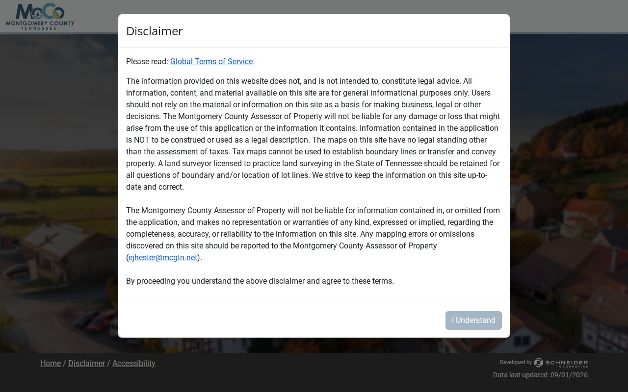
The property card creates the bridge from a street address to the parcel ID and the recorded-document trail.
| Assessor or GIS field | Field type | Street-directory use |
|---|---|---|
| Owner name | Search or result field | Starting name for a deed-index query; variant behavior is not published |
| Street address | Search field | Use a normalized situs form, including directional and suffix |
| Parcel ID | Search or result field | Stable link across property and mapped records |
| Owner mailing address | Result field | Separate from situs and not evidence of occupancy |
| Subdivision and lot | Result or search field | Helpful for rural, changed, or incomplete street forms |
| Transfer history | Result table | Dated sales and deed-reference context |
Montgomery County GIS Streets
The Montgomery County GIS viewer adds the map layer the property card cannot supply. County GIS connects parcels, roads and rights-of-way, zoning, subdivisions, aerials, and other map layers. It describes about 904 property maps, generally at one inch equals 400 feet for rural or larger tracts and one inch equals 100 feet for urban or smaller tracts. The county began converting paper and plastic maps to GIS in 1998.
Use the map to compare the parcel boundary with the street label and road corridor. Then click each parcel separately where adjacent evidence is relevant. A polygon locates a tract. It does not verify a named occupant.
Review the Montgomery County GIS parcel viewer for the county’s searchable layers.

The viewer is useful for geographic context, especially when a road, subdivision, or parcel shape complicates a plain address search.
Montgomery County Street Records
Address-keyed sources have different custodians and access routes. The coverage table below separates current property information from the deed trail, the geographic map, and dated historical material. A Montgomery County street directory should preserve that separation rather than combining every returned name into one list.
| Address-keyed record | What it provides | Montgomery County keeper | Access |
|---|---|---|---|
| Property card | Owner, mailing and situs fields, parcel, lot, values, and transfers | Assessor | Spatialest, public terminal, or office |
| Parcel map | Boundary, road, right-of-way, subdivision, ID, and map layers | GIS and Assessor | GIS viewer or public-parcel service |
| Recorded deed or plat | Grantor, grantee, document reference, legal description | Register of Deeds | US Title Search, public computers, counter, mail |
| Historic deed book | Older recorded conveyance trail | County Archives | Reading room, registration, and staff pull |
| Voter confirmation | Selected registration match | State and Election Commission | Individual lookup or office contact |
| Historic directory or newspaper | Dated name and address context | CMCPL and Archives | Genealogy Room, databases, or reading room |
The deed route is name-centered rather than address-centered. Use the Assessor result to identify the taxpayer or parcel, then search grantor and grantee names, book or page references, and document identifiers. The voter tool requires county, first name, last name, birth month, and birth year for one person. It does not create a searchable block roster.
Montgomery County Street Deed Access
The Register of Deeds sends online researchers to US Title Search, which county materials say updates about every 15 minutes. Subscription or payment is part of the image route. At 350 Pageant Lane, Suite 101-A, public computers offer a different option during business hours. The office also serves counter and mail requests. A mail request should supply a volume and page or enough details to identify the instrument, together with a self-addressed stamped envelope.
Copy prices are 15 cents per page, $1 per certified page, and $1 per page for an 18-by-24 plat; a certified plat is $1. The Register can check a particular recorded document, but its published guidance says staff do not perform title searches or promise a complete lien or encumbrance review.
Read the county’s Register of Deeds public-terminal and copy guidance before requesting a document.

The counter route is especially useful when an online image is unavailable or a book and page reference needs a copy request.
Montgomery County Street Deed Indexes
A grantor is the party transferring an interest, and a grantee is the party receiving it. Starting from an address, use the property-card owner and transfer history to find those names, then work backward through each prior grantor. Capture the instrument type, recording date and time, volume and page or document number, parties, legal description, and image availability. Initials, married names, trusts, estate representatives, entity names, and misspellings can split a deed trail.
Open the Register-linked US Title Search index for the online index route.
An index result should remain a lead until the corresponding instrument, its date, and its exact recorded reference are checked.
Note: An absent name can reflect a variant, another jurisdiction, a later index range, or closed material, not necessarily an absent transfer.
Montgomery County Archive Streets
For the deep address trail, Montgomery County Archives lists Deed Books from 1788 through 1997. Its reading room is the fallback when the current paid index does not expose the needed image or earlier volume. The Archives requires annual registration and current photo identification, keeps stacks closed, and has handling and end-of-day pull rules. CMCPL’s Brown Harvey Sr. Genealogy Room is a companion source for directories, historical newspapers, microfilm, death certificates, and licensed databases.
The 1877 county landowner map and the 1903 Clarksville Sanborn set add historical place context. The landowner map names tracts, roads, railroads, and town insets. The Sanborn sheets can show an earlier building footprint and block layout. Neither identifies a current household.
Clarksville Street Numbering
Historic street entries need a local normalization step. Clarksville’s 1985 ordinance describes a numbered grid based on Franklin Street and Riverside Drive to First Street. The rule calls for even numbers on the south and west sides, uses a 25-foot allowance per number, and changes block numbering by street direction. That history can explain why a directory number or old deed description does not line up with a modern street search.
Keep the historic number as it appears in the source, then compare the parcel ID, lot, subdivision, legal description, map, and street form. Do not silently rewrite an old address into a current one. The same caution applies to a ZIP or postal city that crosses a city or county boundary.
Montgomery County Street Map Geography
The Regional Planning Commission map pairs ZIP lookup with zoning, subdivision, growth-plan, historic, flood, city-ward, and county-district layers. It is helpful when a street directory result needs geographic context beyond the parcel. USPS is the source for the deliverable ZIP, while the RPC and state boundary services help distinguish postal, city, and county geography.
View the Montgomery County RPC ZIP and boundary map before treating a postal label as a municipal boundary.
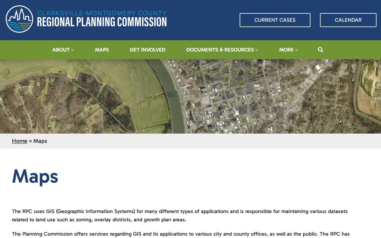
The map supports an address-level boundary check, but it does not convert ZIP geography into a list of people on a street.
Montgomery County Street Limits
A street directory does not establish a complete household list. The public voter lookup confirms an individual registration only when the required county, name, birth-month, and birth-year fields are provided. The regulated voter-list request is not a block directory. Parcel ownership, tax mailing, map adjacency, and historical directory entries each have their own limits. Driver and motor-vehicle personal information is restricted under the Driver’s Privacy Protection Act.
Tennessee Safe at Home participants use a substitute address and confidential voting process. The substitute address does not replace the actual address for assessment, tax collection, or real-property recording. Contact the custodian about an error or statutory protection rather than attempting to combine public sources around a protected person.
Personal use only. Use Montgomery County street records for lawful, respectful research. Do not use an address, map, or record trail to stalk, threaten, harass, or harm anyone.